


Travel Route: Ein Sha’al and the obscure stream; Out-and-Back
By: Amnon Gofer, qualified tour guide
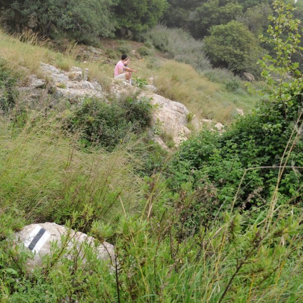
The Sha’al stream remains in its obscurity, avoiding the eyes of travelers for years, even though it is located very close to a busy highway. The spring at its end is visited by a few shepherds and knowledgeable travelers, who put their trust in this small brook that does not appear to be so promising from the road, yet holds a surprise for those who dare come to its portal..
Activity times
- Weekdays
- Allways open
Contact and address
- כתובת
- עין שעל, אזור יחיעם, ישראל
נווטו אלינו
מידע נוסף
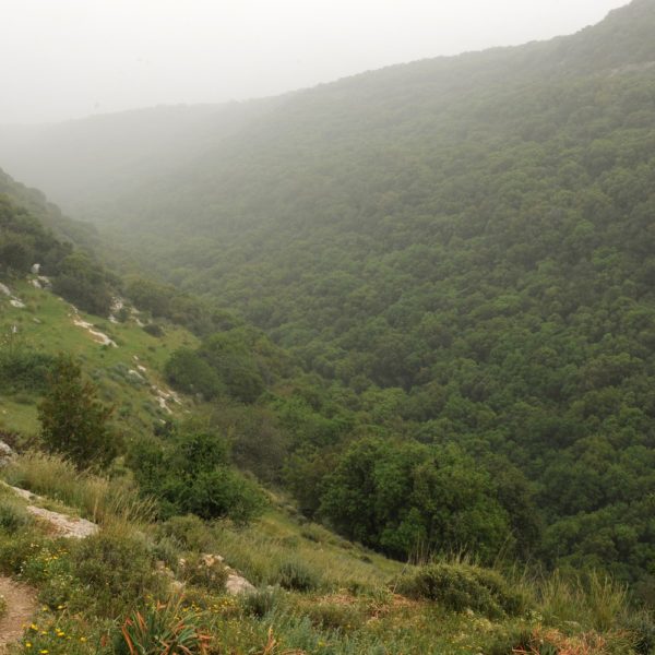
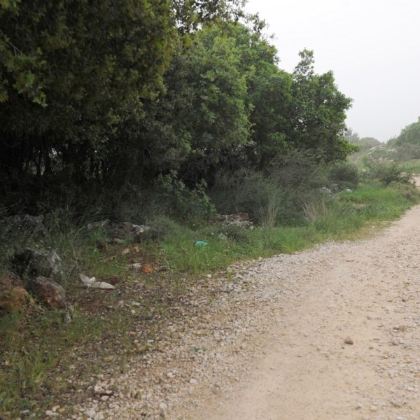
The trail is almost completely immersed in Mediterranean grove, with oak and Pistacia trees shading it from above, a carpet of autumn leaves lying under the hiker’s feet and a short walk taking the traveler to a spring hidden in a cave.
We will park our vehicles on the northern side of road 89 about 50 meters (~54 yards) east of the 13th km sign;
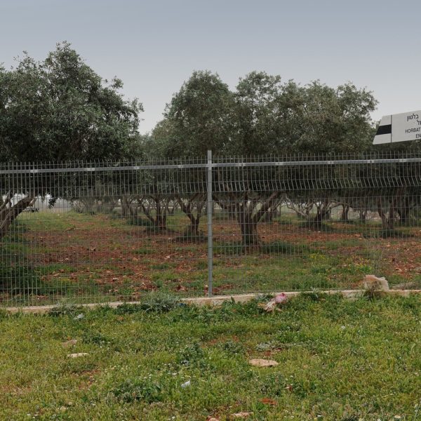
Follow the dirt road between the olive groves facing south-west, reach a stone fence marking the boundaries of a young vineyard, after about 150 meters (~164 yards), and continue along the fence following the black trail-mark leading down to the stream.
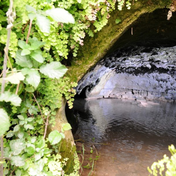
The grove closes in on the hiker almost like a cover and the footpath is adjacent to the creek. The road leads past black, sooty shepherds’ caves, and after 800 meters (~875 yards) crosses the creek facing North West, leaves the grove and starts climbing slowly up an exposed extension. The spring area can be detected as soon as the ascent begins marked by its verdant water vegetation. Next to the spring there is a trough for the flock of sheep and a pool.
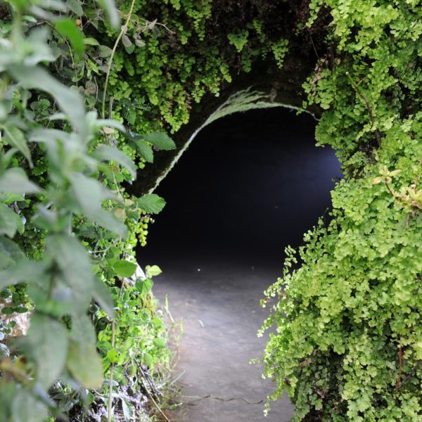
The spring itself is hidden in a cave that can be easily entered by people who wish to enjoy its coolness in summer.
Drinking the stream’s water is not allowed, due to the fact that in the past it contained bloodsucking leeches, hence its Arabic name Ein el-Dam (the spring of blood).
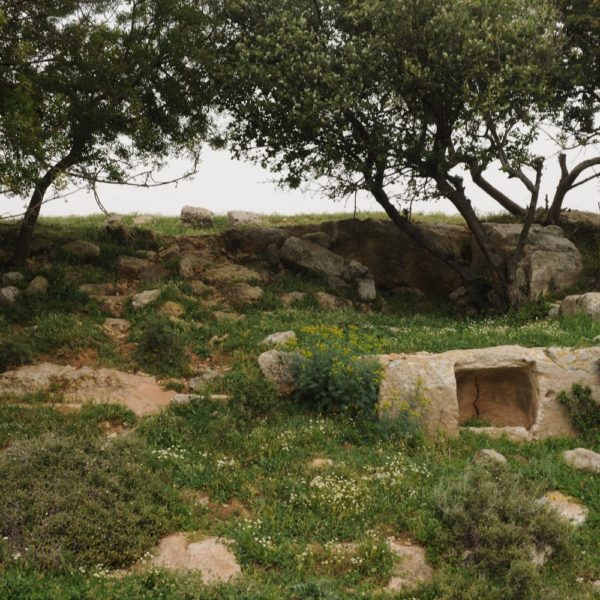
Travelers who wish to observe a Crusader Farm and view of the Western edges of the Galilee sloping to the see, can climb up to the adjacent Horbat Bilton (Bilton ruins), a construction that served as an agricultural farm during the Crusader period, and some of it agricultural facilities are still scattered around, hewn in stone. The road back takes hikers exactly on the path they came on.
Getting there: Road 89 at the 13th km.
Distance by foot: 1,300 meters (שד1,420 yards) each way
Length in time: 30 minutes
Recommended season: all year, especially spring and summer
Entrance Fee: F.O.C.